Do you remember the word ‘Compass’? Do you remember how does it look like? Yes, it is the object with magnetized pointer used for traveling a long long time ago. It required a separate calculation of distance and time. The measurement tools were crude and inaccurate. Thus, the process was very complicated.
Then the satellite navigation system is introduced. An easy, quick, and convenient way to reach your destination. A world knows it as GPS – Global Positioning System. The system was only made operational in 1995, but has already become so omnipresent that we can no longer live without it.
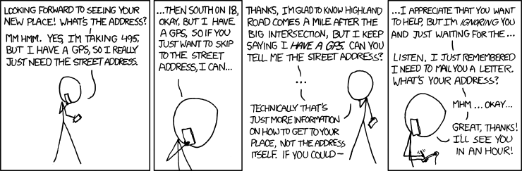
This comic caught my eyes.
I know we all are familiar with applications such Sat Nav and tracking devices, but there is much, much more. Surveying, Geotagging, Map making, Geofencing, object tracking, road; maritime and air transport are to name a few. GPS system is widely used as to track what so ever. The best application I could think of is to track my brother’s steps and tell it to daddy to be his pet!
I was reading a column “What next for the GPS” where I found that researchers envision a sort of electronic post-it note on your phone to enable stores and restaurants to attract wireless customers how are strolling in their neighborhoods. That’s cool, isn’t it? I will get all current schemes and deals as I pass through a shopping center!
In the words of tech futurists: “You’re likely to see more new uses soon thanks to miniaturization, higher accuracy and falling prices". All in all we wouldn’t want to live in world without GPS anymore. I mean, if you are looking for absolute location, relative movement and time transfer then GPS is your answer.
Then the satellite navigation system is introduced. An easy, quick, and convenient way to reach your destination. A world knows it as GPS – Global Positioning System. The system was only made operational in 1995, but has already become so omnipresent that we can no longer live without it.
This comic caught my eyes.
I know we all are familiar with applications such Sat Nav and tracking devices, but there is much, much more. Surveying, Geotagging, Map making, Geofencing, object tracking, road; maritime and air transport are to name a few. GPS system is widely used as to track what so ever. The best application I could think of is to track my brother’s steps and tell it to daddy to be his pet!
I was reading a column “What next for the GPS” where I found that researchers envision a sort of electronic post-it note on your phone to enable stores and restaurants to attract wireless customers how are strolling in their neighborhoods. That’s cool, isn’t it? I will get all current schemes and deals as I pass through a shopping center!
In the words of tech futurists: “You’re likely to see more new uses soon thanks to miniaturization, higher accuracy and falling prices". All in all we wouldn’t want to live in world without GPS anymore. I mean, if you are looking for absolute location, relative movement and time transfer then GPS is your answer.